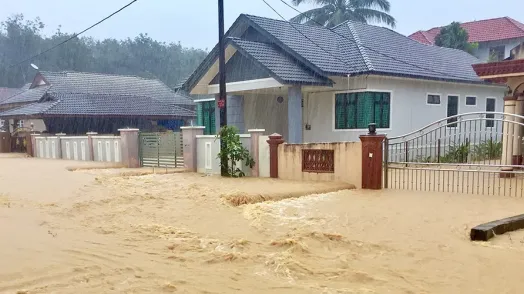
Accurate disaster risk analytics information is crucial to reducing the impacts of disasters and guiding climate adaptation investments.
The Global Program for Disaster Risk Analytics (GPDRA) was designed to support client countries, World Bank teams and other key stakeholders in developing innovative tools, knowledge products and data information that can facilitate evidence-based decisions.
The analytical and advisory services provided by the GPDRA are organized around four pillars: 1) expansion of rapid post-disaster damage assessments, 2) hazard exposure modeling of the built environment, 3) quantification of disaster risk, and 4) economics of resilience. Key activities are described below.
Highlights

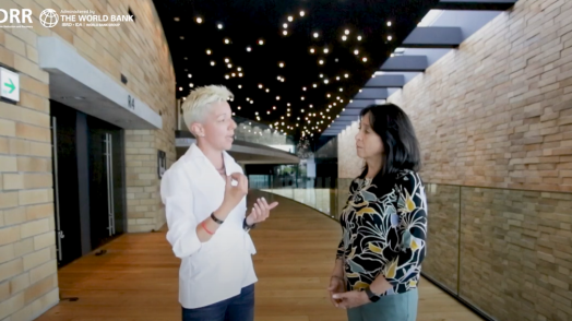
Watch the Disaster Risk Analytics videos playlist on YouTube
Knowledge Products
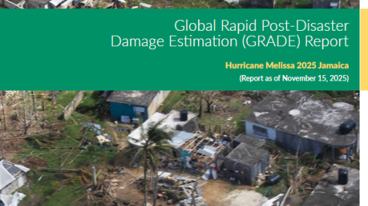
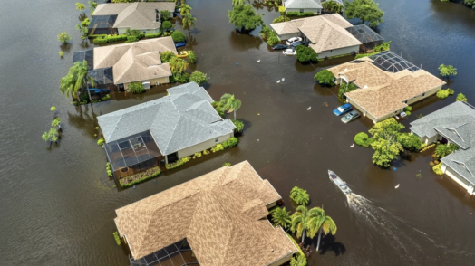
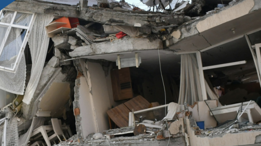
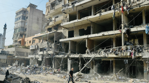
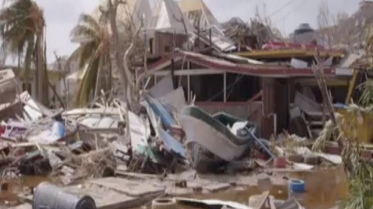
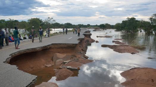
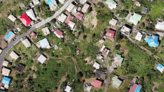
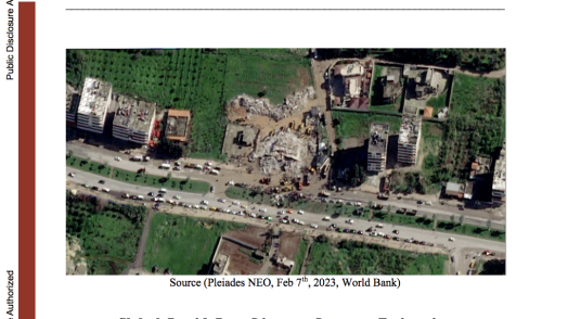
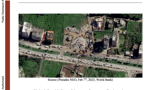
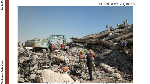
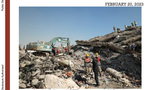
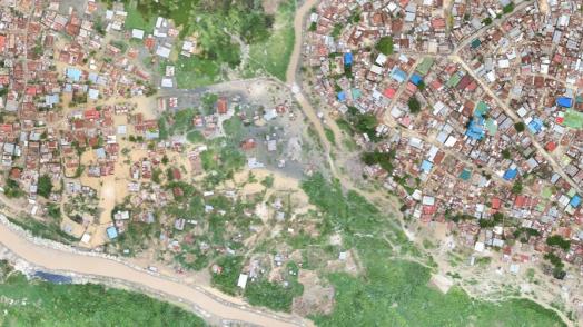
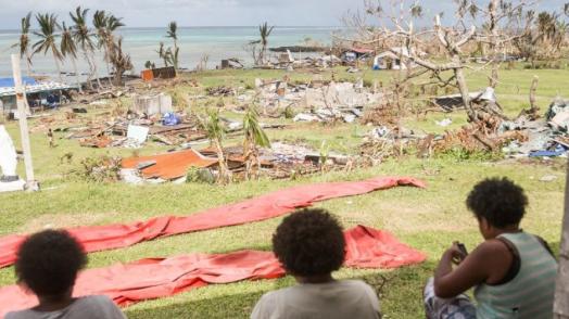
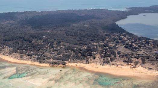
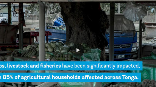
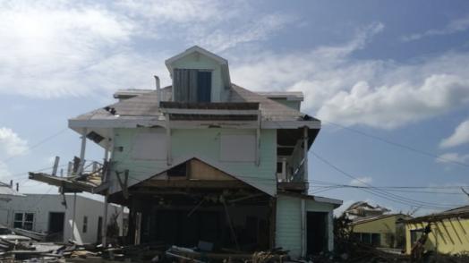
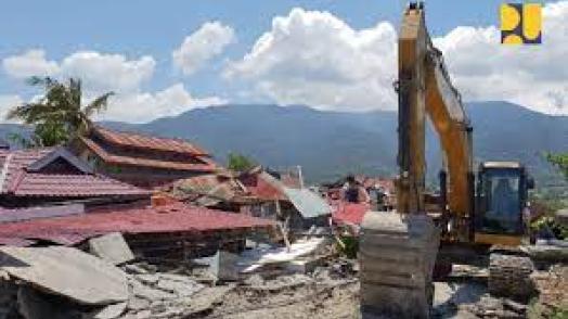
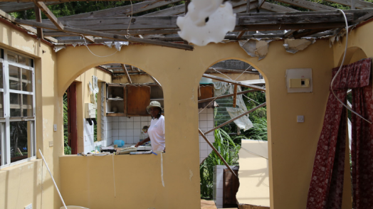
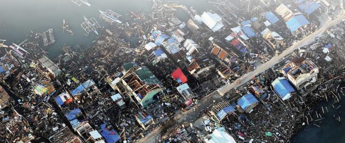
In the aftermath of disaster events, governments grapple with many challenging questions including, What is the extent of the damage? What is the overall economic impact? What are the impacts on housing and infrastructure? How and where can funding and aid be best distributed? And what are the priorities for response and recovery? The World Bank’s innovative Global Rapid post-disaster Damage Estimation (GRADE), a remote, desk-based approach addresses many of the above critical questions within just two weeks. GRADE provides an estimate of physical damages to housing, non-residential buildings and infrastructure primarily, followed by other sectors such as agriculture, as requested/required.
The GRADE approach has been successfully deployed in over 25 recent disasters (2015-2021) and on average with over 75% accuracy compared to ground-based surveys. All these assessments have been conducted directly in response to client and task team demands and have been operationally relevant.
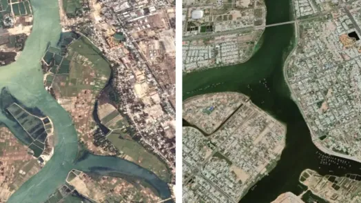
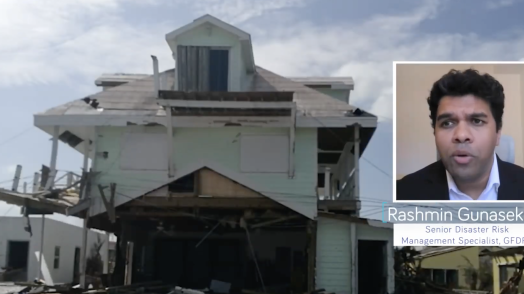
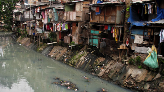
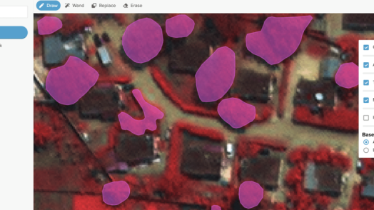
Exposure modeling or modeling of the spatial, socio-economic and physical characteristics of the built environment is critical for disaster risk analytics. Cities present some of the biggest developmental challenges - illustrated by the more than one billion people living precariously in informal settlements that are one small shock away from chronic urban poverty - but cities also hold the keys to a more prosperous, sustainable and resilient future.
As the urban resilience portfolio continues to grow at the World Bank, authorities are requesting more data and analysis to be carried out at the city level. This pillar aims to develop tools and databases to better understand and track various aspects of the exposure of the built environment to natural hazards. The work entails building typologies, replacement values of built and non-tangible values of natural assets, with careful consideration of supply chains and the impact of their disruptions.
Disaster risk quantification is a cornerstone of GFDRR’s remit of risk identification. The pillar on disaster risk quantification focuses on: 1) providing targeted services in the development of country and sector-based disaster risk profiles, 2) developing climate-informed disaster risk analytics including hazard scenario modeling, and 3) developing innovations in economic/cost benefit analyses of WB-funded projects to assess the impact of DRM interventions. This pillar also supports mainstreaming of disaster risk quantification through partnerships with internal and external partners, such as the WB’s Concessional Support for climate and disaster risk finance and insurance, the Insurance Development Forum and UNDRR.
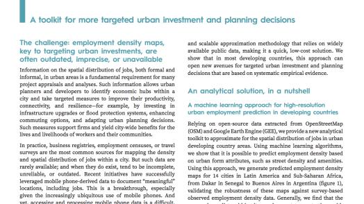
Grounded in state-of-the-art climate and disaster economics, this pillar leverages simulation modelling and empirical approaches to go beyond the quantification of the dollar value of damages to assets from disasters. It investigates the welfare, socio-economic and equity impacts of disasters and resilience interventions on households and adopts a systems approach to look into the wider economic costs and benefits of disasters and risk mitigation. The pillar also looks at businesses, by supporting firm-level data collection and employment-mapping to understand risk to jobs and accessibility in the context of service disruptions and disaster exposure. The tools and frameworks used allow to capture the behavioral responses of households, firms and markets when faced with a shock. The Economics of Resilience pillar of the Disaster Risk Analytics Global Program looks into topics such as: the welfare and equity impacts of flood management policies, disaster insurance benefits and bottlenecks, land value creation potential from disaster risk management, and wider economic costs from urban transport disruptions.
The program works closely with WB task teams in a demand driven way to influence policy dialogue, investments and awareness and is expected to influence US$200 million in World Bank financing a year. The program also mainstreams resilience and disaster risk analytics by informing upstream analytics such as Sector Country Diagnostics (SCDs), Urbanization reviews, Country Climate Development Reports (CCDRs), among others.
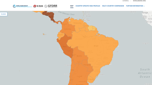
Disaster Risk Profiles

