
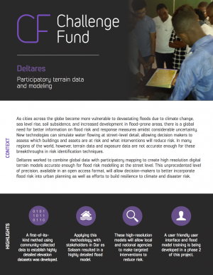
This prototype tool enables users to establish a high-resolution terrain dataset with locally collected information on roads, water ways, and buildings stored in OpenStreetMap, enabling urban risk managers to build local models and identify critical hazardous flood areas in Tanzania.
Round
Round 1
Organization
Deltares
Image
Project Summary
Domain
Country
Project Location(s)
POINT (32.756376 -3.34076)
Global/Regional Project
false