
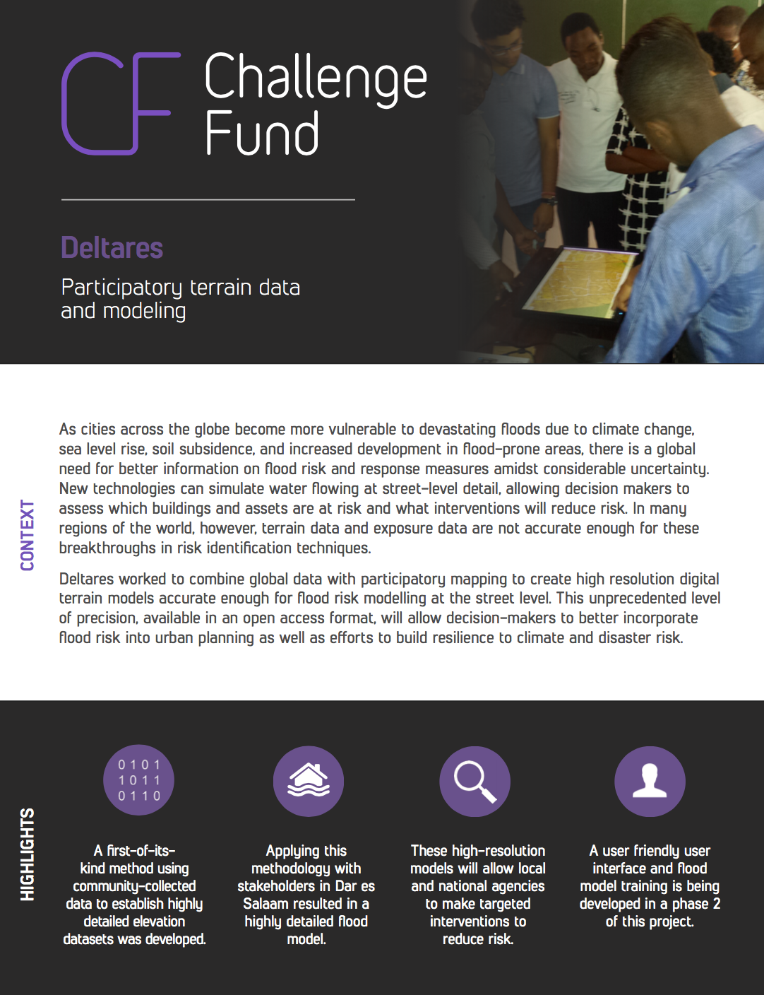
As cities across the globe become more vulnerable to devastating floods due to climate change, sea level rise, soil subsidence, and increased development in ood-prone areas, there is a global need for better information on flood risk and response measures amidst considerable uncertainty. New technologies can simulate water flowing at street-level detail, allowing decision makers to assess which buildings and assets are at risk and what interventions will reduce risk. In many regions of the world, however, terrain data and exposure data are not accurate enough for these breakthroughs in risk identification techniques.
Deltares worked to combine global data with participatory mapping to create high resolution digital terrain models accurate enough for flood risk modelling at the street level. This unprecedented level of precision, available in an open access format, will allow decision-makers to better incorporate flood risk into urban planning as well as e orts to build resilience to climate and disaster risk.