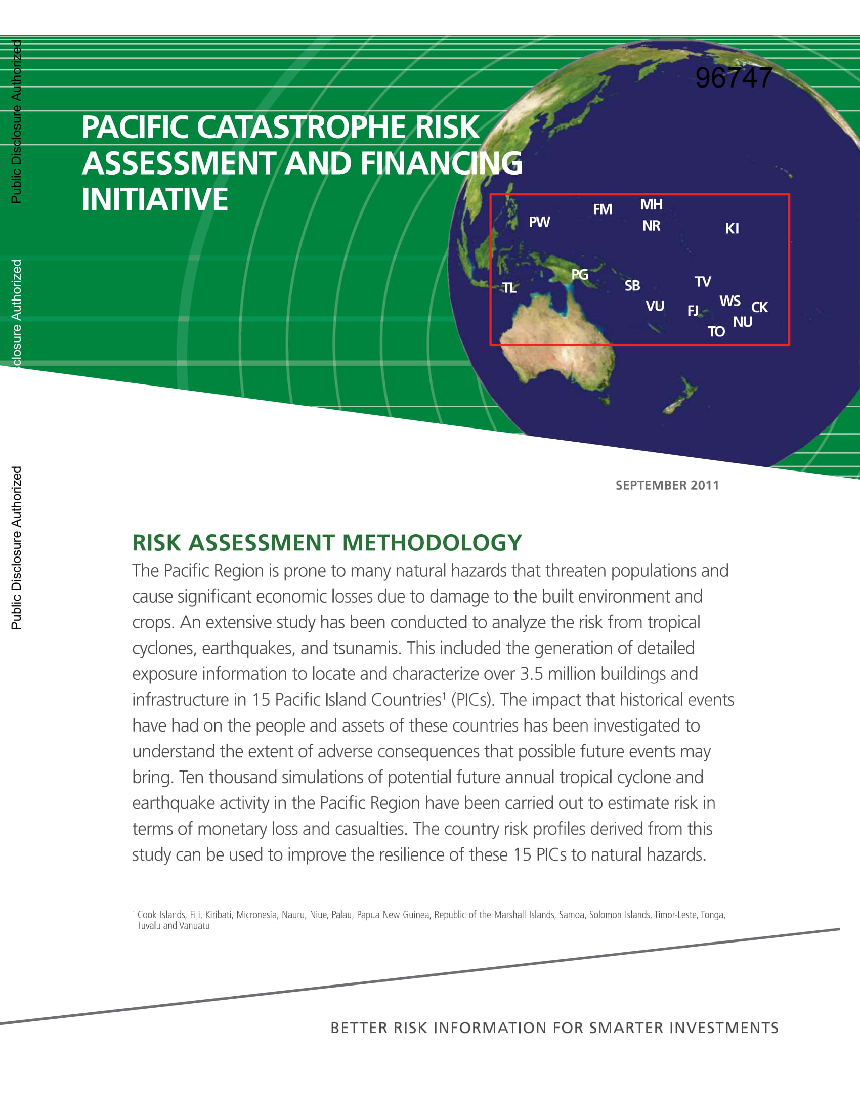
The Pacific Region is prone to many natural hazards that threaten populations and cause significant economic losses due to damage to the built environment and crops. An extensive study has been conducted to analyze the risk from tropical cyclones, earthquakes, and tsunamis. This included the generation of detailed exposure information to locate and characterize over 3.5 million buildings and infrastructure in 15 Pacific Island Countries1 (PICs). The impact that historical events have had on the people and assets of these countries has been investigated to understand the extent of adverse consequences that possible future events may bring. Ten thousand simulations of potential future annual tropical cyclone and earthquake activity in the Pacific Region have been carried out to estimate risk in terms of monetary loss and casualties. The country risk profiles derived from this study can be used to improve the resilience of these 15 PICs to natural hazards.

Risk Assessment Methodology
Pacific Catastrophe Risk Assessment & Financing Initiative
September 1, 2011