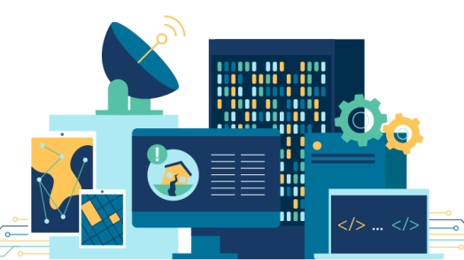
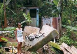
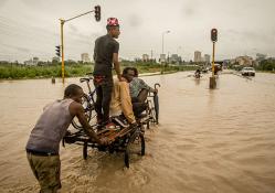
GFDRR uses cutting-edge innovation, science and technology to make high-quality risk information available faster and at lower costs, and develop new tools that allow decision-makers and communities to collect, share, and understand risk information. We tailor our approach to support the full range of disaster risk management interventions — from preparedness to risk reduction to consideration of financial solutions. 

Read More

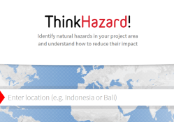
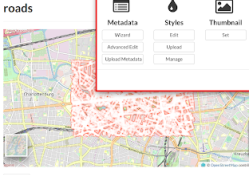
Highlights from Innovation

Community

Bringing together practitioners in disaster risk identification, assessment & communication.

Learn More
Thematic Area

Exploring the use of disruptive technologies for disaster risk management and resilience.

Learn More
Online Tool

Mobilizing the global open data movement to tackle disaster and climate risk.

Learn More

Innovation By The Numbers

167
Grants
$106.1M
Countries
Explore more of our work.
Publication
This document presents general guidelines on the steps and requirements to deploy a GeoNode.
Learn More
Publication
Highlights the ethics and responsibility concerns in AI- and machine learning-supported projects
Learn More
Publication
Explores different aspects of government use of volunteered geographic information.
Learn More
Publication
Examines the history of the GeoNode software project and GFDRR's contributions to its success.
Learn More
Publication
This guide provides a brief compendium of resources to foster the growth of participatory mapping.
Learn More
Publication
This brief explains the report’s context, methodology, main findings and recommendations.
Learn More
Publication
A guidance on the design and implementation of an Open Cities mapping project
Learn More
Publication
Provides project designers with a framework for developing projects involving the use of risk data.
Learn More
Publication
A guidance note on how machine learning can be used for disaster risk management.
Learn More