
At a three-day technical workshop, national and municipal leaders in Liberia used risk information, practical planning tools, and local knowledge to chart a path toward resilient urban growth.
Liberia’s cities are centers of opportunity. But as urban areas expand, informal development, inadequate drainage, wetland encroachment, and gaps in basic services are increasing the exposure of people and investments to flooding and other climate risks. Liberia now has an important opportunity to bring planning up to speed with urban growth, so that new investments in homes, roads, markets, and drainage help reduce risk, strengthen resilience, and support economic growth.
More than half of Liberia’s population now live in urban areas. The urban population grew from 1.9 million in 2010 to 2.6 million in 2020 and is projected to reach 6.7 million by 2050, which would be 75% of the population. Urban growth is concentrated in and around Greater Monrovia, but secondary cities are also expanding. The choices made today on land use, infrastructure, drainage, housing, public services, and environmental management will shape Liberia’s development path for decades.
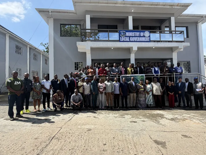
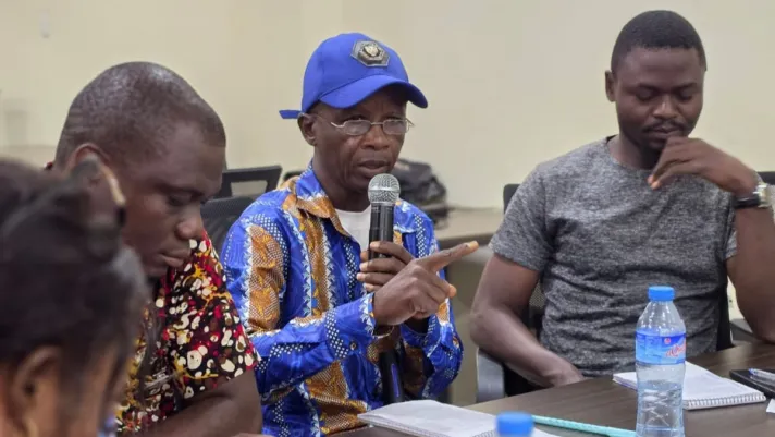
From June 17 to 19, 2026, the government of Liberia and the World Bank’s Global Facility for Disaster Reduction and Recovery (GFDRR) and its City Resilience Program convened the technical workshop Risk-Informed Urban Planning for Livable and Resilient Cities. The workshop brought together ministers, senior national officials, mayors, and technical teams from Monrovia, Paynesville, Ganta, Gbarnga, and Buchanan to work through a practical question: How can Liberia use urban planning to manage today’s risks while creating space for safer, more inclusive, and more productive growth?
As Madhu Raghunath, World Bank Practice Manager for Urban, Resilience and Land in West and Central Africa, emphasized in her opening remarks: “By integrating risk considerations into urban planning, regulation, and investment decisions, cities can reduce losses while also enabling jobs, private investment, and better service delivery.”
The workshop came at an important moment. Liberia is moving forward with implementation of its new Zoning Act, while the Liberia Urban Resilience Project is supporting flood resilience, urban infrastructure, and improved urban management. The workshop also drew on the GFDRR’s Handbook for Livable and Resilient Cities, which provides practical guidance for integrating hazard and risk information into urban planning. Together, these elements helped frame the discussion around action: how to move from concepts, legal frameworks, and risk data to decisions that cities can apply in practice.
Turning Urban Decisions into Resilience Gains
The workshop framed urban planning as a core instrument for resilient development: aligning land-use decisions, infrastructure investments, environmental management, and service delivery to shape how cities grow. Roads, drainage systems, markets, and service networks do more than respond to existing needs; they also influence where households, businesses, and future development are likely to locate. When guided by risk information, these investments can help steer growth toward safer, better-serviced areas and support more resilient local economies.
These choices shape both risk and opportunity. Development in wetlands can reduce natural water storage, while expanding paved surfaces can accelerate runoff. Housing, roads, markets, and public facilities in flood-prone areas can increase exposure to people, assets, and public resources. At the same time, well-planned infrastructure and services can make safer locations more viable for communities and businesses, helping reduce risk while expanding access to jobs, markets, and services.
The Restrict–Condition–Promote framework from the Handbook for Livable and Resilient Cities provided a practical entry point. It helps translate risk information into planning and investment choices: restricting development where risks are unacceptable; conditioning development where risks can be reduced through standards, safeguards, or targeted risk-reduction investments; and promoting green, resilient growth in safer and well-serviced locations. In practice, this moves risk analysis from diagnosis to implementation, helping cities align where they protect, where they adapt, and where they invest to support resilient urban growth.
Building the Institutional Machinery for Implementation
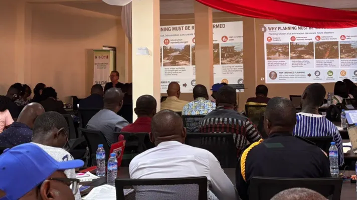
Good information alone does not change how a city grows. Institutions, mandates, resources, and accountability systems determine whether evidence is used and whether plans can be implemented.
On the first day, municipal teams examined the institutional environment behind urban planning, identifying the organizations and groups that influence development decisions, control information or resources, implement regulations, provide infrastructure and services, and experience the consequences of urban growth.
The exercise made clear that urban resilience cannot be delivered by a single planning office. Stakeholder mapping helped city teams clarify who must collaborate, where mandates need clarification, and how communities can participate in planning, monitoring, and enforcement.
From Spatial Diagnosis to Investment Choices
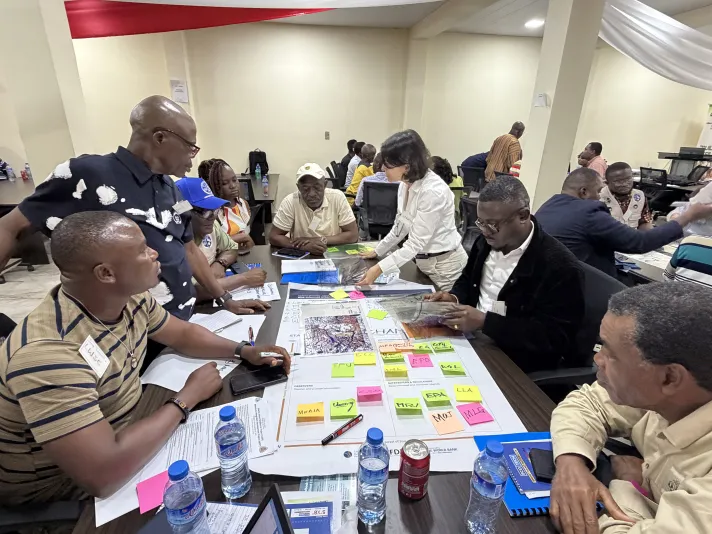
Working in municipal teams, participants combined information on population density, urban expansion, roads and public facilities, economic activity, environmental assets, and flood hazards, including a projected 2080 climate scenario. Viewed together, these layers revealed where people, livelihoods, infrastructure, environmental systems, and hazards intersect, helping identify risk hotspots, ecosystems under pressure, service gaps, and potentially safer locations for future growth.
A second exercise used an imaginary city to compare broad screening maps with more detailed information on flood depth, water-flow velocity, hazard zones, future climate conditions, and the expected performance of risk-reduction measures.
The comparison showed that data resolution can materially change decisions on land use, infrastructure design, building regulations, and investment priorities. The lesson was not that cities must wait for perfect data. Available maps, administrative records, satellite information, local knowledge, and rapid assessments can provide a starting point, while more detailed analysis can be targeted where development pressure, public investment, or risk exposure is especially high.
From Instruments to Implementation
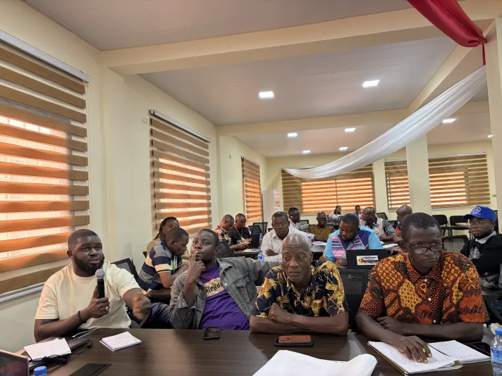
On the third day, the workshop shifted from identifying risks and planning directions to examining how those directions can be implemented.
Participants discussed zoning and land-use regulations, building requirements, infrastructure investments, environmental measures, incentives, knowledge systems, monitoring arrangements, and enforcement mechanisms. These instruments were framed not only as technical tools, but as ways to align public and private decisions with safer growth.
Effective implementation depends on a coherent package of instruments. In areas where risk is unacceptable, land-use regulations may be needed to restrict development. In other hazard-exposed areas, development may become suitable if flood protection, risk-reduction investments, resilient infrastructure, building regulations, and site-specific safeguards can reduce risk to acceptable levels. The key is coherence: zoning, infrastructure planning, permitting, monitoring, enforcement, and community engagement need to reinforce the same objectives for safer and more resilient urban growth.
The workshop was closely connected to ongoing work under the Liberia Urban Resilience Project, or LURP. Its combination of infrastructure investment and institutional strengthening provides a platform for carrying the workshop’s methods into planning and implementation processes.
Planning for Action Beyond the Workshop
The workshop’s most important result was a shared approach to urban development decisions.
Priorities for the next phase include city-level implementation pathways; monitoring and compliance systems; technical capacity for planning, development control, and enforcement; targeted data collection; and sustained coordination among national institutions, municipalities, academic partners, communities, and the private sector.
The central lesson was clear: risk information has value when it changes decisions. By linking risk information with planning, investment, and local knowledge, Liberia’s national and municipal leaders are helping shape an urban future that is more resilient to hazards, more functional, and better able to support jobs, services, investment, and opportunity.
The technical workshop “Risk-Informed Urban Planning for Livable and Resilient Cities” was convened from June 17 to 19, 2026, with support from GFDRR’s City Resilience Program, and supported ongoing urban management and spatial planning efforts under the Liberia Urban Resilience Project.