
The following is a summary of the second session of the Technical Workshop on Risk-Informed Urban Planning in Liberia hosted on June 17 to 19, 2026 by the government of Liberia and the World Bank, with financial support from GFDRR’s City Resilience Program.
Day 2 began with a presentation on the recently enacted Zoning Act delivered by Abraham Bility, Assistant at the Ministry of Public Works (MPW), setting the policy context and highlighting the government’s commitment to risk-informed land use and development. The day then shifted from conceptual discussions to a hands-on, analytical approach, focusing on how risk information and spatial data can inform planning decisions.
Following this policy framing, technical sessions introduced the spatial planning process within this policy framework, and clarified the relationship between hazard, exposure, and vulnerability—providing a common basis for understanding how risk is generated and managed.
Through structured group exercises, participants applied spatial overlays, risk analysis, and scenario testing to identify priority areas, including high-risk zones, infrastructure gaps, and areas of future growth. The Restrict–Condition–Promote framework was used to guide development decisions based on risk levels.
Day 2 emphasized practical application, demonstrating how cities can translate diagnostic insights into risk-informed land-use planning decisions, even in data-constrained environments.
“Liberia is at an important juncture as it moves forward with implementation of the new Zoning Law.” - Madhu Raghunath, World Bank Practice Manager for Urban, Resilience and Land in West and Central Africa
Key Insights
Operationalizing Spatial Planning Through a Fit-for-Purpose Approach
Angela Franco—Urban Planning Consultant, GFDRR, World Bank—underscored that cities do not need perfect data to begin planning. She introduced a fit-for-purpose spatial planning cycle spanning scoping, diagnosis, formulation, consultation, adoption, implementation, and review. The session demonstrated how municipalities can leverage baseline information—such as existing land-use patterns, infrastructure networks, environmental assets, and hazard areas—to progressively build a spatial strategy aligned with local capacity. This approach illustrates how decision-relevant data translates into actionable strategies supported by land-use regulations and investment priorities. Ultimately, the central message was highly practical: spatial planning is not merely about producing maps; it is a vital governance process for directing resilient growth, coordinating strategic investments, and shaping safer, functional, and sustainable urban environments.
Understanding Urban Risks for Risk Informed Urban Planning
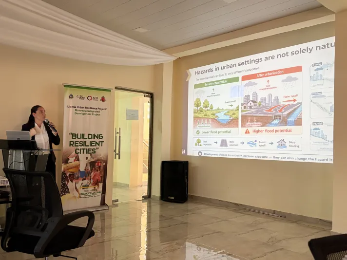
Celina Kattan, Disaster Risk Management Consultant, emphasized that risk information must be embedded throughout the urban planning process. In urban settings, hazards are shaped not only by natural processes, land-use change, vegetation loss, impervious surfaces, altered drainage, infrastructure deficiencies, and climate change can intensify hazards and risk. Because of the interconnected nature of urban systems, disruptions can cascade and amplify impacts far beyond the initial event. Understanding these interactions is therefore central to risk-informed planning. By integrating fit-for-purpose information on hazards, exposure, vulnerability, and capacity, planners can identify where risk is concentrated, where future growth could create new risk, and where priority action is required. The presentation showed how this evidence can directly inform zoning, development controls, infrastructure siting, and investment priorities, supporting decisions to restrict development where risk is unacceptable, condition it where risk can be reduced to acceptable levels, and promote green and resilient urban growth (RCP Framework).
From Risk Information to Place-Based Planning Decisions
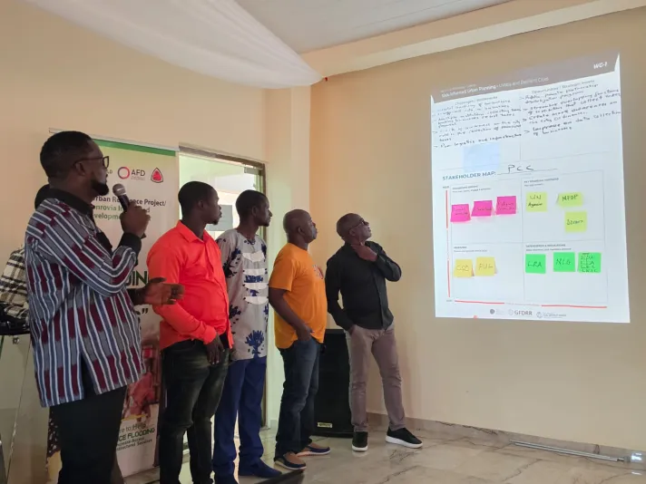
Two linked group exercises translated risk information into practical planning choices. Using transparent map overlays for Greater Monrovia and secondary cities, participants combined population density, urban expansion, critical roads and facilities, economic activity, environmental assets and flood hazards, including a 2080 climate scenario, to identify existing and emerging risk hotspots, ecosystems under pressure, and safer locations for future growth. Teams then proposed preliminary Restrict–Condition–Promote responses and identified the local data needed to validate the screening. In the second exercise, an imaginary-city case study was used to compare broad screening maps derived from global data with detailed flood-depth, flow-velocity, and hazard-zoning information under current and future climate scenarios, both with and without risk-reduction measures. The exercise demonstrated how data resolution and evidence on intervention performance can materially change decisions on zoning, land use, infrastructure, building regulations, and investment priorities.
Lessons Learned and Next Steps
Day 2 showed how cities can move from rapid spatial diagnosis to defensible, place-based planning decisions, even where data is limited. Participants used spatial information, including hazard and exposure data, to identify where growth should be restricted, conditioned, or promoted. The exercise showed that cities can begin improving planning now by using available maps, records, and local knowledge to identify priority areas of concern and related data, institutional, and investment needs. As a next step, city teams can use the findings to target data collection and guide planning and enforcement decisions. These early actions can progressively inform more detailed plans, regulations, and investments.