
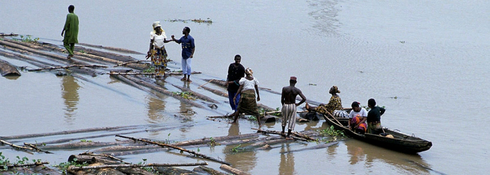
In 2012, floods wreaked havoc on Ibadan, Nigeria—killing hundreds and displacing thousands more. Following the disaster, the Global Facility for Disaster Reduction and Recovery (GFDRR) released a post-disaster needs assessment with urgent recommendations to strengthen resilience to floods.
The World Bank Africa Disaster Risk Management team began implementing a US$400 million National Flood Risk Management Implementation Plan for Nigeria. However, at the time, little information was available to rapidly show vulnerability to floods.
GFDRR stepped in, connecting the Africa team with researchers from the independent research institute, Deltares and the Institute for Environmental Studies (IVM), Netherlands, who had been developing and successfully implementing a methodology to map flood risk at global and national scales where extreme data limitations exist.
The Global Flood Risk Image Scenarios (GLOFRIS) model expresses flood risk in terms of several indicators, including annual expected damage, damage in urban areas, affected population, and affected GDP. The resulting flood risk maps help keep stakeholders engaged, and provide valuable information on the areas at highest risk of flood damage. They also provide a springboard for further localized research to assess how flood risk could be reduced.
“GFDRR was very helpful in leveraging the flood risk model to help develop a national flood risk management implementation strategy in Nigeria,” said Doekle Wielinga, Senior Disaster Risk Management Specialist, Africa Region. “The model is a great first step in providing a national map showing vulnerability to floods for Nigeria, where previously, no such methodologies were in place.”
GFDRR and the Africa DRM team were keen to showcase this work more broadly, and invited the researchers—Hessel Winsemius, hydrology expert at Deltares, and Philip Ward, Senior Researcher at IVM—to present the GLOFRIS methodology at the World Bank in October. The presentation was well received and showed how such collaborations can be leveraged to implement disaster risk management plans at global and local levels.
“One major function of GFDRR is to use science, technology and innovations to better inform and empower policy makers,” said Alanna Simpson, Senior Disaster Risk Management Specialist, GFDRR. “The GLOFRIS model offers a robust response to client questions of flood risk, so we found it valuable to connect the researchers with the World Bank’s Africa Disaster Risk Management team.”
The researchers also presented limitations to the model. The methodology is currently based on a global model that uses remote sensing and satellite imagery. Possible next steps in this collaboration include incorporating local information, and assessing how flood risk could further be reduced should regions implement flood adaptation strategies, such as effective flood protection infrastructure or spatial planning.