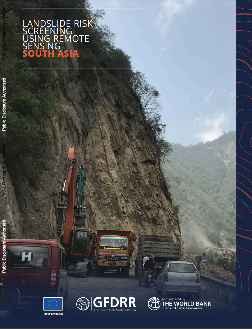
Landslide risk represents one of the most severe problems related to natural hazards on a global scale, particularly in areas with high relief. Transportation corridors traversing landslide risk-prone regions are particularly exposed to such hazards. Further, landslides directly endanger people and their livelihoods, directly threatening populated centers as well. Improper design and execution of development projects such as roads in mountainous terrains can increase slope instability and result in landslides. To mitigate the risk from landslides, it is necessary to characterize and monitor the hazard based on sound scientific and technical methodologies. There have been new developments such as the Satellite-based interferometric synthetic aperture radar (InSAR), which measures ground displacement on a millimeter scale and produces time series data of such high-precision measurements by applying image stacking techniques. Using lessons from applying the InSAR method to landslide-prone areas in India, Bhutan, and Nepal, this report highlights a blueprint of the hazard planning that can be very effective for roads in hilly areas across the region.

