
Developing accurate impact scenarios is essential for disaster preparedness, mitigation, and well-planned disaster response. Running a successful impact scenario, however, requires hazard data, like water runoff and other flood-specific information, and exposure data, like population density. A risk model can then predict the location and extent of potential impacts, providing an evidence base to inform targeted risk- reduction policies.
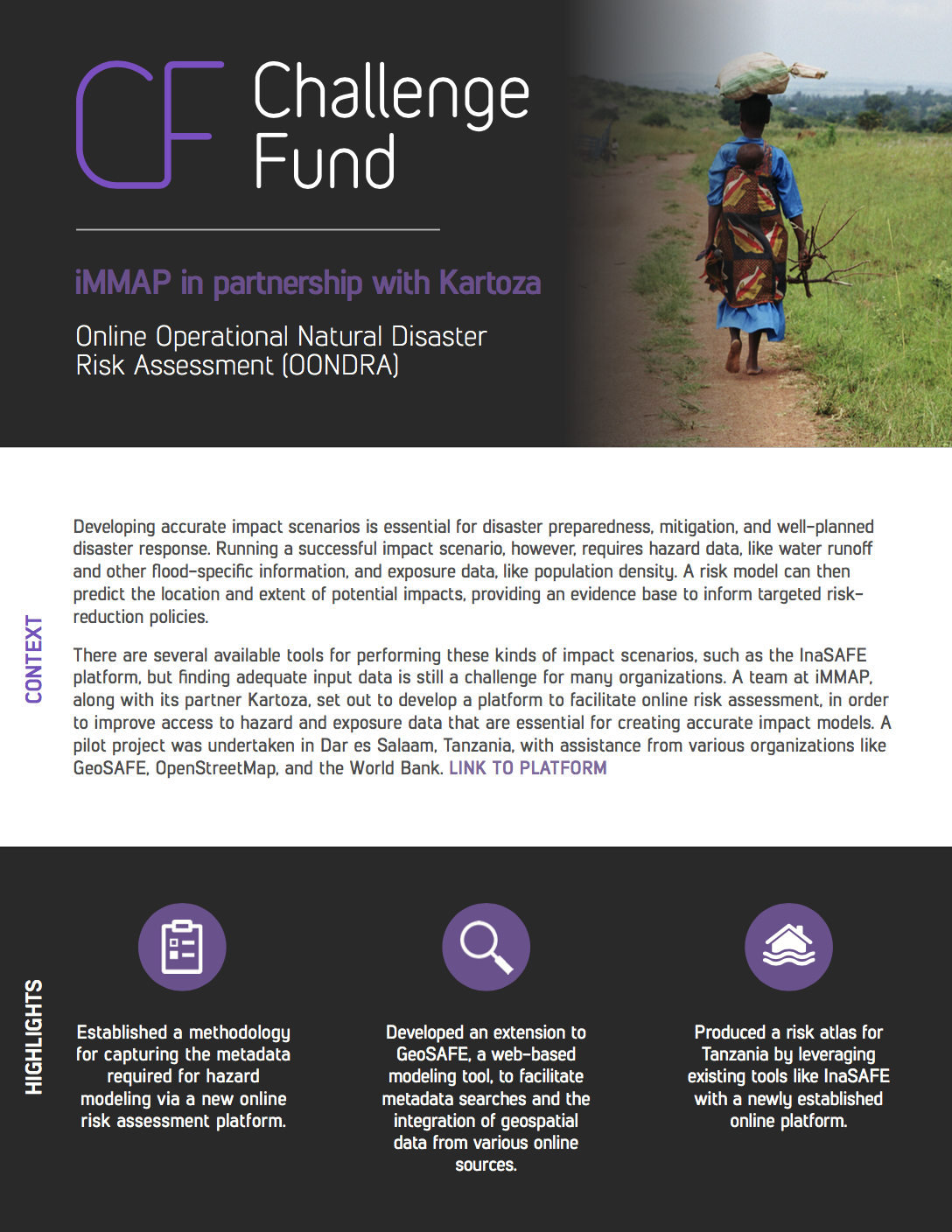
There are several available tools for performing these kinds of impact scenarios, such as the InaSAFE platform, but finding adequate input data is still a challenge for many organizations. A team at iMMAP, along with its partner Kartoza, set out to develop a platform to facilitate online risk assessment, in order to improve access to hazard and exposure data that are essential for creating accurate impact models. A pilot project was undertaken in Dar es Salaam, Tanzania, with assistance from various organizations like GeoSAFE, OpenStreetMap, and the World Bank.