
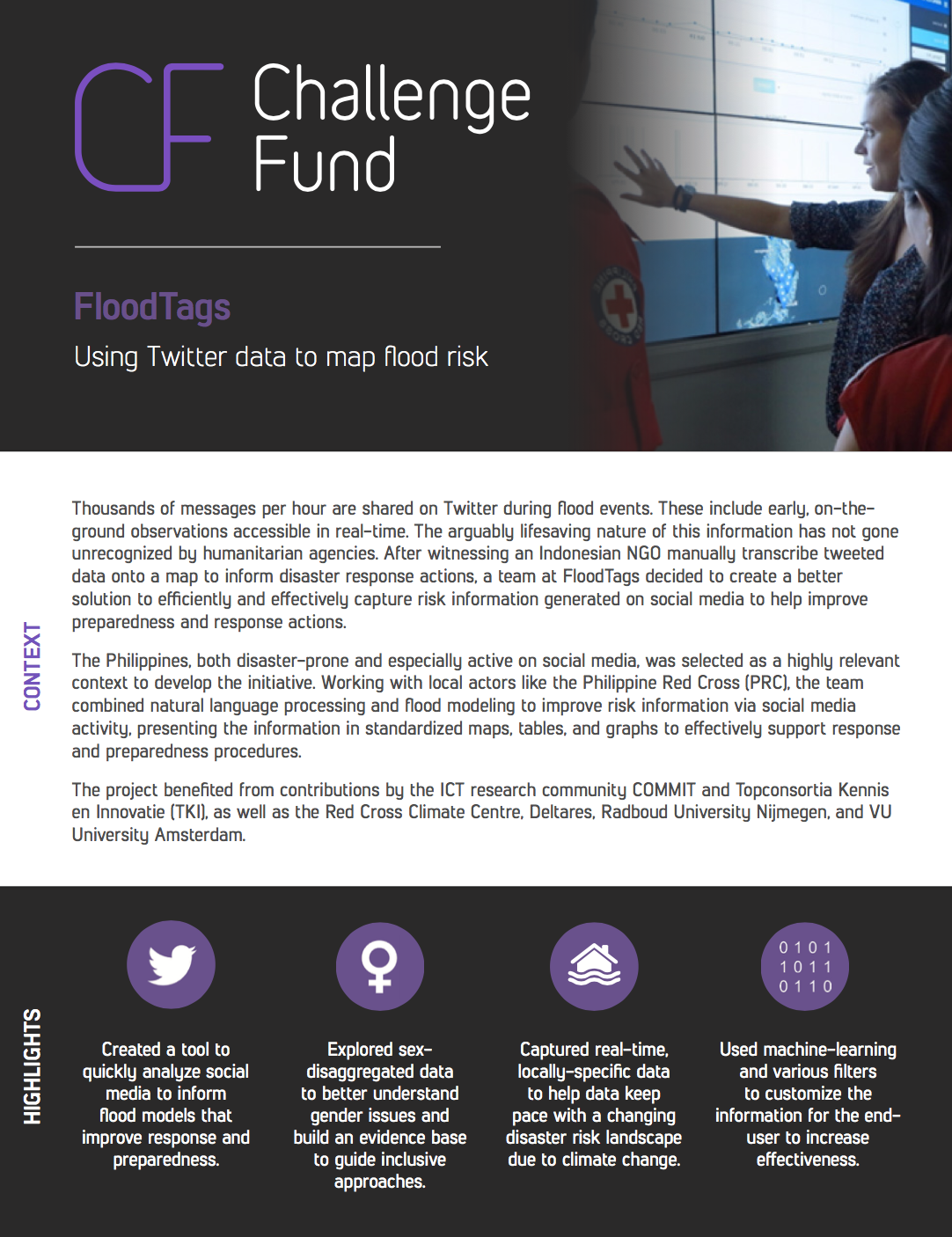
Thousands of messages per hour are shared on Twitter during flood events. These include early, on-the-ground observations accessible in real-time. The arguably lifesaving nature of this information has not gone unrecognized by humanitarian agencies. After witnessing an Indonesian NGO manually transcribe tweeted data onto a map to inform disaster response actions, a team at FloodTags decided to create a better solution to efficiently and effectively capture risk information generated on social media to help improve preparedness and response actions.
The Philippines, both disaster-prone and especially active on social media, was selected as a highly relevant context to develop the initiative. Working with local actors like the Philippine Red Cross (PRC), the team combined natural language processing and flood modeling to improve risk information via social media activity, presenting the information in standardized maps, tables, and graphs to effectively support response and preparedness procedures.
The project benefitted from contributions by the ICT research community COMMIT and Topconsortia Kennis en Innovatie (TKI), as well as the Red Cross Climate Centre, Deltares, Radboud University Nijmegen, and VU University Amsterdam.