
Regional knowledge-sharing event in Ankara, Türkiye, connects land administration and disaster risk management across Europe and Central Asia
From January 28 to 30, 2025, government officials and technical experts from across Europe and Central Asia gathered in Ankara, Türkiye for a three-day regional knowledge-sharing event on the critical nexus between land administration and disaster risk management (DRM). The event, convened by the World Bank with financial support from GFDRR, created a unique platform for countries to explore how land and geospatial systems can support disaster resilience and climate action.
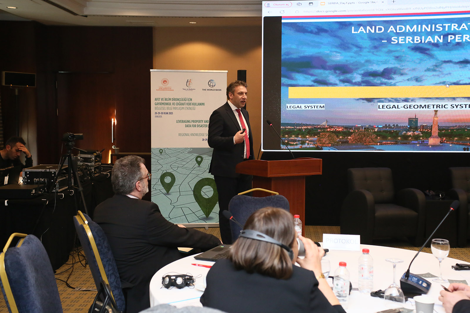
Bringing together land administration specialists and DRM professionals from the Kyrgyz Republic, Moldova, North Macedonia, Romania, Serbia, and Türkiye, the event showcased cutting-edge practices, including Türkiye’s development of 3D city models and innovations in geospatially enabled DRM through national spatial data infrastructures (NSDI), building registers, and land valuation systems.
“As a result of the three-day workshop that was held in Ankara, Türkiye, we gained a great experience from various countries. Especially we can mention the experience of Serbia and Moldova, which have recently carried out mass valuation of real property for taxation purposes or damages after various natural disasters,” said Mr. Abdiev Almaz, Deputy Head of Digital Transformation Department, Kyrgyz Republic.
Where Land Meets Resilience
Having averaged US$250-300 billion in recent years, global annual losses from disasters are staggering and will likely rise in the future. The land administration-DRM nexus is gaining prominence as countries recognize the role of land data in addressing today’s most pressing development challenges. Robust cadaster systems and spatial data infrastructures provide governments with the tools to map hazard zones, assess vulnerabilities, regulate land use, and ensure tenure security—an essential foundation for preventing and responding to natural disasters.
In many countries there is a knowledge gap on how to leverage land and geospatial data for improved DRM and resilience to climate change, but Türkiye has made significant steps in this regard and has shared some of its experiences during the regional knowledge sharing event. Throughout the event, participants examined how integrated geospatial data can:
- Map hazard zones and identify exposed assets, people and activities,
- Enable risk-sensitive land use planning,
- Improve post-disaster recovery through secure tenure systems, and
- Support countries in meeting their nationally determined contributions (NDCs) under the Paris Agreement.
A Shared Space for Knowledge and Innovation
Through interactive sessions and peer exchanges, countries shared their progress and challenges in harnessing geospatial and land data for resilience. A highlight was the presentation of Türkiye’s use of 3D city modeling—a powerful example of how technology can enhance urban risk assessments and emergency preparedness.
Participants engaged in expert-led sessions, country roundtables, and technical demonstrations on:
- Streamlining data-sharing between institutions,
- Strengthening policy and legal frameworks to support DRM integration,
- Improving the reliability and currency of cadaster data, and
- Prioritizing investments in cost-effective digital solutions.
International experts from land governance, spatial data infrastructure, and climate resilience fields provided technical input and guided peer learning throughout the program.
Toward Climate Commitments and Risk Reduction
By the end of the event, country delegations had identified key takeaways to guide their next steps at home. These included:
- Sharper articulation of institutional and technical gaps,
- Lessons learned from regional peers, and
- Priorities for strengthening geospatial data ecosystems for DRM.
Many also recognized the growing need to align land administration reforms with climate strategies, noting that land-based mitigation and adaptation measures require secure land rights, transparent valuation systems, and reliable hazard and property data.
“It was an initiative from this workshop that we need to improve the cooperation with our land administration organization in North Macedonia, and to improve training in order to use the land administration products” said Ms. Valentina Atanasovska, Head of International Cooperation Department, Protection and Rescue Department, North Macedonia.
Looking Ahead
With climate change accelerating the frequency and severity of disasters in the region, building resilient land governance systems has become an imperative. Events like the Ankara workshop offer a valuable opportunity for countries to align their DRM, land, and climate agendas—and to forge partnerships that turn data into action.
GFDRR and its partners will continue to support countries in this journey, working toward systems that secure land rights, protect communities, and unlock climate resilience.

Watch the playlist on YouTube