
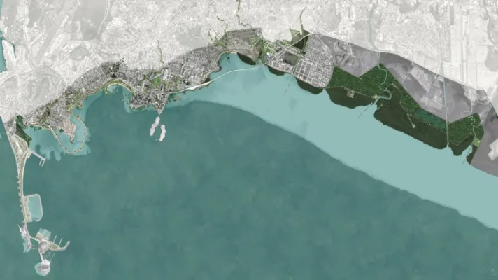
Potential enhancement and conservation of green spaces along the waterfront of Panama City (Photo credit: World Bank)
In the past 25 years, Panama City, Panama, has undergone a process of rapid and unplanned urbanization. The city is now three times the size it was in 1990, and almost half of the population and economic assets of the whole country are concentrated in 4 percent of the territory. Its proximity to the coast, extensive river network, and heavy annual precipitation means that the city is vulnerable to floods and sea level rise. This vulnerability is exacerbated by the lack of adequate land-use planning, scattered institutional responsibilities, a deficient drainage system, and the loss of natural wetlands in the Tocumen and Tapia basins. As a result, floods have become more frequent and intense, posing a significant challenge to socioeconomic development, especially in disadvantaged neighborhoods.
Creating a more resilient and sustainable future for Panama City will require investments that address these issues through a comprehensive and multi-sectoral approach. GFDRR is providing financial and technical support to Panama City’s efforts to strengthen resilience, sustainability, and connectivity through the Waterfront Redevelopment and Resilience Program. This program works to inform urban design of existing and future developments that include continuous multi-modal waterfront access, comprehensive wetland management and ecosystem services, and neighborhood upgrading.
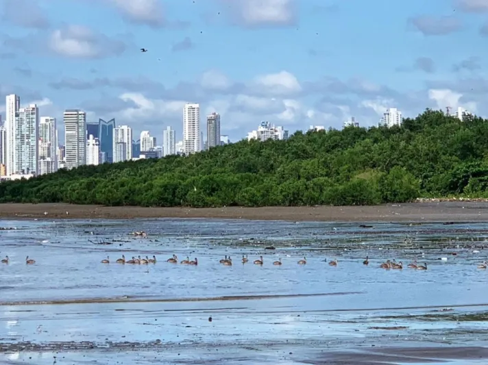
Panama City’s Mangroves (Photo credit: J. C. Isaza)
An integral part of this work has been the identification of NBS for disaster risk management and resilience. As such, a strategic flood risk assessment of the Tocumen and Tapia basins has been developed to understand the key flood mechanisms, create hazard exposure and risk maps, and determine flood risks in four future scenarios. In parallel, an assessment of coastal biophysical conditions, including the status of mangroves and riverine vegetation, and the use of native plants for urban green spaces, was conducted to determine structural and nonstructural measures. These assessments have been used to identify a range of possible interventions that include nature-based and hybrid solutions, such as modifying the distribution of mangroves and riparian vegetation, restoring river channel routes to more natural configurations, and using urban parks to serve as water storage areas in different city locations, while also reducing heat island effects and enhancing biodiversity. Sophisticated computer modeling will be undertaken to provide insight into the sustainability of these proposed interventions.
These results are building capacity at the municipality and national levels, and will inform larger, cost-effective investments by city and national governments that will catalyze socioeconomic development through enhancing resilience and revitalizing the urban environment.
“Nature-based solutions are a key part of our city Resilience Strategy. The presence of rich ecosystems, such as our watersheds and wetlands, offers us unique opportunities for flood risk mitigation and recreational activities, while providing climate protection and biodiversity conservation.”
—Marcos Marengo, Resilience Director of the Municipality of Panama