
Africa Drone Service (Photo credit: Aziz Kountche)
Across Africa, urbanization is growing at an unprecedented rate. Urban populations are expected to double in the next 20 years, with some of the continent’s largest cities now growing as fast as 4 percent each year. Lacking vital information on who, what, and where is at risk, urban planners and community leaders often struggle to manage urban growth in a way that fosters resilience to natural hazards and climate change.
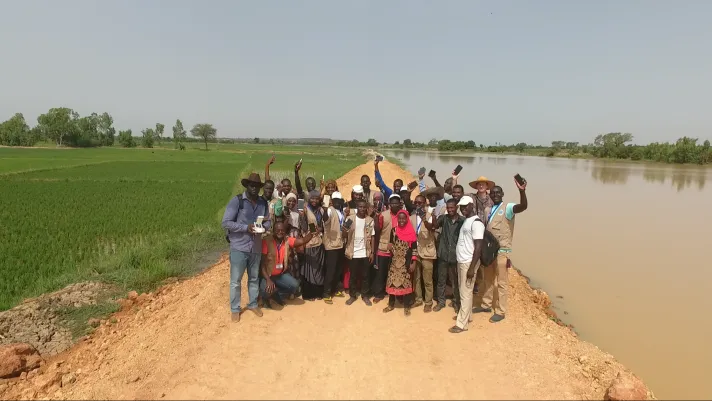
Open Cities Africa supports locally led efforts in 12 Sub-Saharan African cities to systematically gather and share critical risk data. Led by the GFDRR Labs, the initiative connects local community members with geospatial experts and enthusiasts, catalyzing partnerships that have collected risk data in several of Africa’s most disaster-prone areas, and subsequently making the data open and accessible through a range of user-centered platforms, from web applications like OpenStreetMap to paper atlases.
Using innovative approaches such as drone imagery capture and open source community mapping techniques, Open Cities Africa teams have collected data on more than half a million buildings, mapped over 30,000 kilometers of roads, and captured hundreds of square kilometers of drone imagery.
RESULTS IN NUMBERS
- Attributed data for more than 500,000 buildings
- Mapped over 30,000 kilometers of road
- Trained over 500 people in digital cartography
- Captured hundreds of square kilometers of drone imagery
In conjunction with these efforts, 500 people have been trained in digital cartography. For young people among the ranks of Open Cities Africa teams, this serves as an invaluable opportunity to hone tangible skills that they can leverage in the growing geospatial technologies job market.
Through its commitment to nurture a vibrant community of practice for geospatial data practitioners across Africa, the initiative is laying the foundation for local citizens to sustain these efforts for the long haul. One example is the Pointe-Noire OpenStreetMap community in the Democratic Republic of Congo that went from zero local contributors in 2018 to over 50 mappers half a year later, all eager to continue the effort.
Governments, civil society, and the private sector are turning to the data in their efforts to address Africa’s most pressing resilience challenges. In Tanzania, for instance, the local Red Cross is using real-time flood data to respond more effectively to flooding. In Liberia, the Monrovia City Council is now using Open Cities Africa maps to identify garbage collection points, thus strengthening its waste management practices. Meanwhile, in Ngaoundéré, Cameroon, community groups are utilizing paper atlases, also developed as part of this initiative to facilitate risk reduction efforts at the local level. The Open Cities Africa program is supported by Africa Disaster Risk Financing Initiative.
“Nothing can be done without the right information or the right data. The Africa of tomorrow is data.”
—Gisèle Yela Hortense, in Charge of the Local Development Project, DURQuaP