
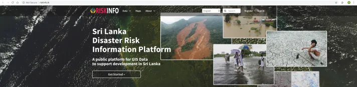
RiskInfo – The new platform for Sri Lanka’s open geospatial data (Photo credit: RiskInfo–Sri Lanka)
Built on a low-lying river estuary overlooking the sea, Sri Lanka’s capital of Colombo is highly vulnerable to the risk of flooding, threatening the lives and livelihoods of over 5 million people who call the city and wider metropolitan area home. Changing weather patterns combined with haphazard land use are intensifying this risk. In recent years, flash floods have occurred in Colombo with worrying frequency, even before the onset of the monsoon season.
In response to these challenges, the Sri Lankan government has embarked on a highly ambitious urban resilience agenda for the Colombo Megapolis Region. Under the Japan–World Bank Program for Mainstreaming DRM, and with the support of GFDRR, task teams are working with the government to collect, share, and analyze risk data that will be key to moving this agenda forward.
Because of the significant uncertainty about the exposure of the Colombo Megapolis Region’s assets to disaster, a top priority has been the development of a region-wide geo-database of exposed assets. Drawing on extensive stakeholder consultations, a first version of this geo-database, the Metro Colombo Spatial Data Platform (MCSDP), has been developed. Once completed, the platform will be a key tool in the government of Sri Lanka’s efforts to integrate disaster risk into infrastructure planning.
RESULTS IN NUMBERS
175 risk data sets made available, including hazard information layers and exposure data layers
The Facility has also supported efforts to strengthen the Sri Lanka government’s national risk data platform called RiskInfo, which was initially developed in partnership with the Open Data for Resilience Initiative (OpenDRI). Since it was first piloted in 2012, RiskInfo has become a one-stop shop for collecting and sharing hazard, exposure, and risk data in Sri Lanka. RiskInfo now includes nationwide impact maps for floods, landslides, and droughts from over the past three decades, and is available in GIS-compatible formats that can be used by relevant government agencies for their resilient planning efforts.
In conjunction with initiatives to expand the government’s repository of risk data, GFDRR has also worked to strengthen the capacity of key development planners from various sectors to develop sector plans informed by disaster risk information. In FY19 alone, over 24 technical officers received training on mapping disaster exposure and using the maps for sector-specific development plans.
To ensure the long-term sustainability of its efforts, the Facility is striving to align its activities with the Sri Lanka National Spatial Data Infrastructure (SL-NSDI), the national government’s program for optimizing the development and sharing of geospatial data across public agencies and institutions.
GFDRR support has also informed the World Bank’s recently approved $310 million loan to improve weather forecasting and early warning systems in priority river basins, and to reduce flood risks in the Colombo’s lower Kelani basin.
RiskInfo transformed the sharing of disaster-related spatial data among different agencies. Earlier, these data were scattered among many agencies and not accessible at one place online. This platform will encourage people to use hazard and exposure data in planning and designing of development investments to make them more resilient to natural hazards.
—Srimal Samansiri, Assistant Director—Research and Development, at Sri Lanka’s Disaster Management Center.