
STORY HIGHLIGHTS
- Many countries around the world are unprepared or underprepared for weather and climate hazards
- The Shanghai Multi Hazard Early Warning System serves as a model for coordination of hazard prediction and response systems
- Many countries around the world are learning from the Shanghai example to better protect their people and optimize their resources
All countries face exposure to weather, water and climate hazards, but not all have the same ability to predict and respond to them. Some countries have been able to reduce the impact of natural hazards through early warning systems (EWS), yet such systems can be limited in scope. Fortunately, some countries have devised ways to transform EWS into more robust systems.
A notable example is the Shanghai Multi Hazard Early Warning System (MHEWS), which engages relevant authorities at the city level to provide timely response to natural hazards. Because of its success, the Shanghai city government and the China Meteorological Administration (CMA) created an Early Warning Center within the Shanghai Meteorological Service (SMS) to handle many types of warnings, including – but not limited to – hydrological and meteorological phenomena.
To give others the opportunity to learn from the MHEWS model, the Global Facility for Disaster Reduction and Recovery (GFDRR) and the CMA organized a workshop last week in Shanghai entitled “Reducing the Impact of Hydro-Meteorological Hazards.”
Meteorology, hydrology, and disaster risk management specialists from Africa, South and East Asia, the Pacific, and Latin America learned about impact-based forecast and warning services, including ways that they can be implemented in national meteorological and hydrological services and Disaster Risk Management organizations, as they are in Shanghai.
“It was interesting to see how the different agencies [within the Early Warning Center] collaborated without actually being physically together in one institute,” said Litea Biukoto, Pacific Resilience Program Manager, Secretariat of the Pacific Community, Fiji. “Different agencies work together to make decisions, having them planned and programmed; the forecasters together with hydrologists to plan out the messaging, day by day.”
During the workshop, discussions centered on issues caused by the gap between forecasts and warnings, in which hydro-meteorological events have been accurately forecasted, but the actions on the ground have not been sufficient. Closing this gap requires a comprehensive approach to observing, modeling, and predicting severe hydro-meteorological events and their potential impacts. This includes employing the best available information and services to manage multi-hazard events today, and gathering the best possible evidence to inform future infrastructure decisions needed to protect the population.
The workshop also explored case studies which highlight issues with improving public and sectoral responses to hazardous meteorological and hydrological conditions. Participants had an opportunity to share their experience in order to identify solutions which may have broader applications.
The peer exchange nature of the workshop helped some participants identify ways to strengthen their national disaster risk management systems by just adjusting their approaches. For example, countries that do not face additional challenges with accessibility or communications (as in some small island chains) or population density (as in Bangladesh) can noticeably improve public access and response to hazardous hydromet events by strengthening coordination between meteorological and hydrological agencies and reprioritizing their disaster risk management response.
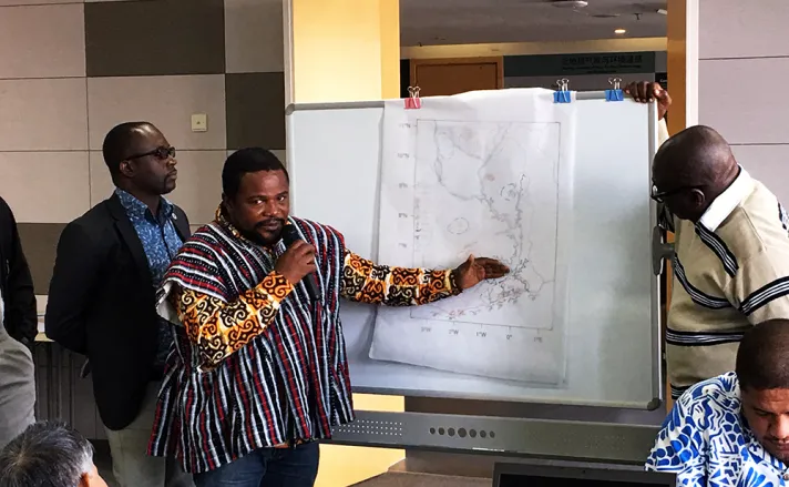
“We need to identify which areas we should concentrate on for disaster management planning. We need to prioritize; currently there is no prioritization [in Ghana],” noted Gavivina Yao Tamakloe, Chief Disaster Officer (Director for Relief & Reconstruction), Ghana. “We only look at the population and say if this happens here, this is the population that will be impacted. A new map will help me see where to concentrate – in terms of repositioning, education, simulation exercises.”
Based on the lessons learned during the workshop, the participants offered to run an impact-based forecast and warning exercise using the ideas discussed during the earlier sessions and building on their own operational experiences and case studies.
The workshop was one of several events since 2012 organized by the SMS, GFDRR, and the World Bank to facilitate knowledge exchange and foster communications between countries that are planning or implementing projects aimed at strengthening weather and climate services and improving EWS.