
Day 1 of the Technical Workshop on Risk-Informed Urban Planning in Liberia established the analytical and institutional foundations for risk-informed urban planning in the country by connecting urban growth dynamics, disaster risk, and planning systems. The session highlighted that Liberia’s urban transition—now with more than half of the population living in cities—has resulted in rapid spatial expansion into flood-prone and environmentally sensitive areas, increasing exposure of people, infrastructure, and assets to risk.
Participants from national and local governments discussed how risk emerges from the interaction between hazards, exposure, and vulnerability, and how current development patterns are actively shaping future disaster losses and fiscal burdens.
The day also emphasized that effective planning is not only a technical exercise, but an institutional and governance challenge, requiring coherent legal frameworks, inter-agency coordination, enforceable regulations, and stakeholder engagement to translate plans into implementation
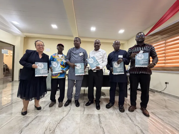
Key Insights
Where and how cities grow determines risk outcomes
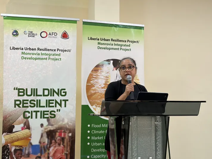
A central message from the framing presentation led by Ana Campos García, Lead Disaster Risk Management Specialist at GFDRR was that Liberia’s urban future is being built right now. Accordingly, three realities must being recognized: Cities are growing rapidly; risks are increasing; and decisions today shape tomorrow which create a window of opportunity.
This reinforces a critical planning principle: where and how cities grow determines future risk outcomes.
Panel discussions further grounded this in Liberia’s context, where weak enforcement of zoning, informal land transactions, and construction in wetlands continue to amplify risk.
The implication is that risk reduction must be embedded in core planning decisions—including land-use allocation, infrastructure siting, and permitting systems—rather than treated as a post-disaster concern. This shifts the focus from reactive disaster management to ex-ante risk reduction through spatial planning.
From legal frameworks to operational planning systems
Discussions highlighted that Liberia has established important legal foundations, notably the Zoning Act, which defines land use categories, permitting systems, and enforcement mechanisms.
However, a key constraint lies in the implementation gap between statutory frameworks and operational capacity. Effective planning requires translating legal provisions into functioning systems—supported by institutional coordination, staffing, enforcement, and public awareness.
The enabling environment analysis identified four critical pillars:
- governance and inter-agency coordination
- sound legal and regulatory frameworks
- leadership and accountability
- citizen and private sector engagement
Panel discussions reinforced that fragmentation of mandates (e.g., overlapping roles between land, public works, and environmental agencies) leads to inconsistent enforcement and inefficiencies.
This underscores that urban planning effectiveness depends less on the existence of laws, and more on institutional coherence and enforceability.
Lessons Learned and Next Steps
Day 1 demonstrated that managing urban growth in Liberia requires aligning spatial planning decisions with risk information, while strengthening the institutional systems that enable implementation. Key priorities include improving inter-agency coordination, enhancing enforcement of zoning and permitting systems, and integrating local knowledge with available risk data. These insights provide the analytical and governance foundation for Day 2, which focuses on applying risk information to concrete planning decisions and tools.