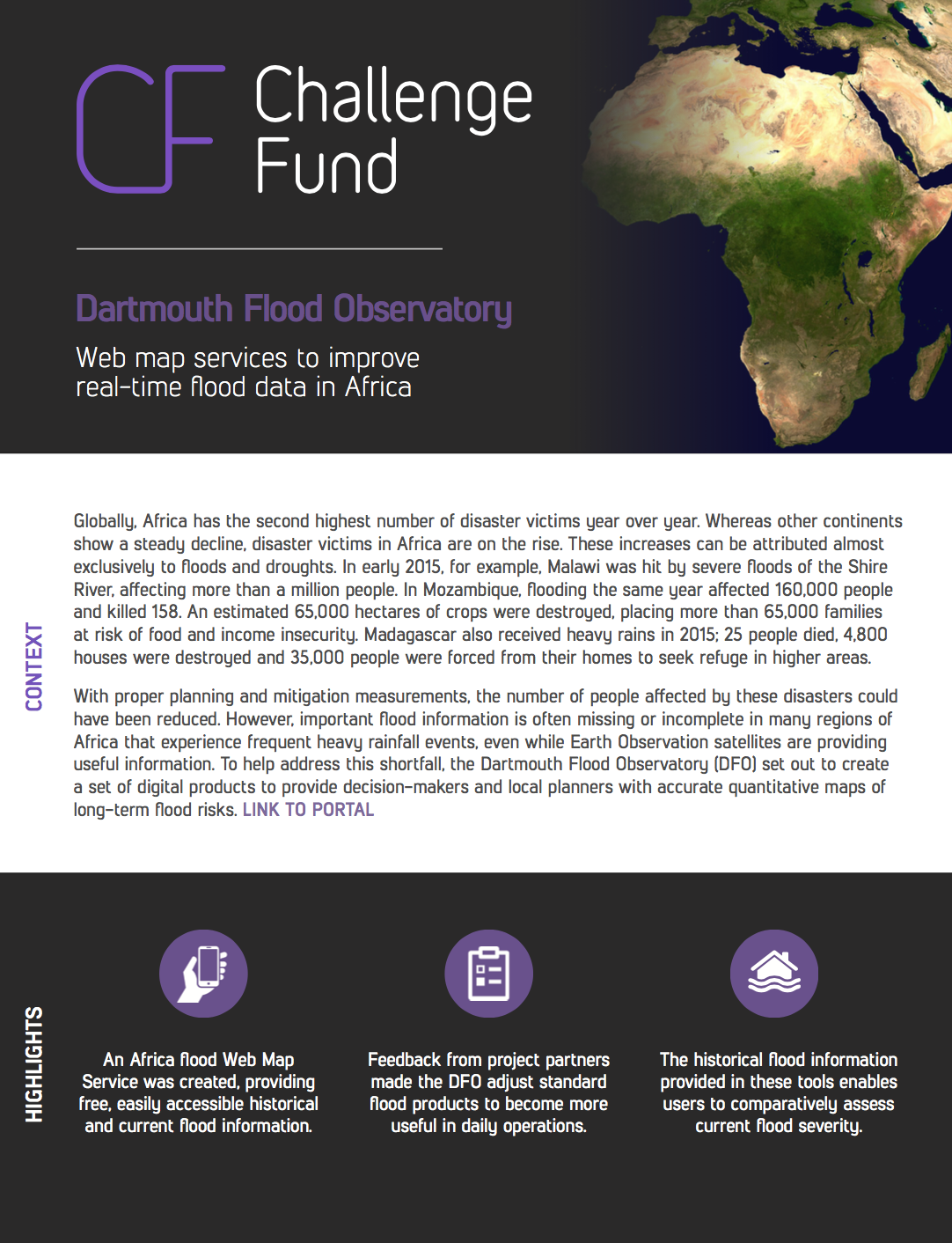
This project measures surface water and river discharge throughout Africa in near real-time, and improves data visibility through a newly-developed web mapping service to enable more effective decision making to reduce flood risk.
Round
Round 1
Organization
Dartmouth Flood Observatory
Image

Project Summary
Domain
Project Location(s)
POINT (58.574247 -5.718308)
Global/Regional Project
true
