Natural Hazard Risk
Bhutan is exposed to a diversity of hazards, including floods, landslides, earthquakes, glacial lake outburst, and droughts.
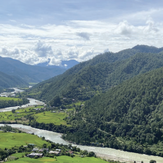
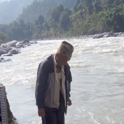
Heavy seasonal monsoon rains and glacial melt are the most common cause of flooding and landslides. Over 70 percent of settlements and most infrastructure and fertile agricultural land are located along the main drainage basins, placing them at high risk of flooding.
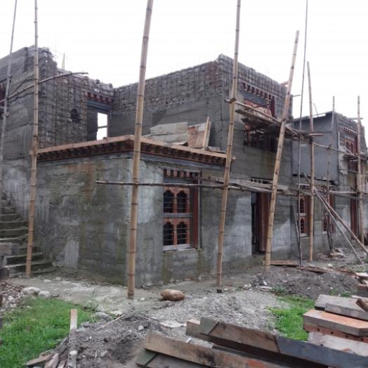
The country has a high risk of earthquakes due to its proximity to the seismically active Himalayan belt. Several earthquakes above magnitude 6.0 have occurred over the past 40 years. In 2009 and 2011, Bhutan was struck by two high-magnitude earthquakes. According to a GFDRR-supported rapid needs assessment, the 2009 earthquake caused damages and losses of over $52 million and needs over $45 million. Estimates indicate over 4,000 households were affected and over 7,000 people were left without adequate shelter.
As a result of climate change, the frequency and intensity of climate and weather hazards are expected to increase.
Government Priorities
Bhutan is strongly committed to advancing disaster risk management (DRM) and improving climate resilience. A holistic DRM framework was established in 2006 and is guided by an ex-ante, proactive approach. The Department of Disaster Management, established in 2008, is the national coordinating agency for DRM. The Department of Hydromet Services is mandated to provide reliable and timely weather, water, and climate information and services.
The high-priority status of DRM is reflected in a supporting architecture of legislation, frameworks, and rules and regulations. The challenge for Bhutan lies in implementation capacity at the national and local levels.
To further reduce risks and advance its DRM agenda, government priorities include:
- Strengthening the national capacity to issue reliable and timely weather and flood forecasts, and to assess the impacts of climate change;
- Improving regional collaboration for monitoring, understanding, and predicting weather and climatic hazards; and,
- Building the geo-hazard and landslide risk management capacities of government agencies and communities to strengthen infrastructure resilience and to ensure safety.
Since 2009, GFDRR has supported activities in Bhutan to strengthen climate and disaster resilience, with a focus on: strengthening seismic resilience; building capacity for climate-resilient infrastructure; and improving flood forecasting and hydromet services delivery.
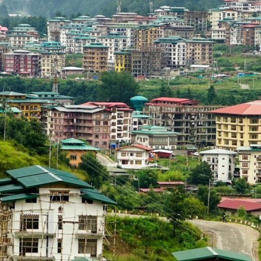
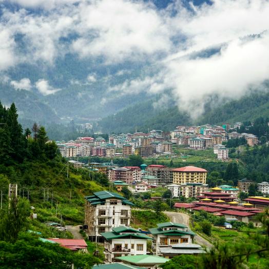
From 2009 to 2014, GFDRR supported activities to build DRM capacity, particularly for seismic risk. Following the 2009 and 2011 earthquakes, GFDRR supported rapid needs assessments that helped the government identify reconstruction and recovery needs. Additional activities included: strengthening the capacity of national search and rescue teams; organizing a knowledge sharing event to highlight Bhutan’s experience in disaster management of cultural heritage sites; and carrying out a seismic risk assessment in Thimphu, Bhutan’s capital. This risk assessment led to $1.29 million in World Bank financing to improve Bhutan’s resilience to seismic risk.
Through ongoing engagements, initiated in 2014, GFDRR is supporting the Department of Roads to improve the resilience of transport infrastructure. Developing an infrastructure inventory database of primary national highways, including data on vulnerabilities due to poor maintenance and/or risk proclivity (e.g., steep slopes), is one activity. Another was a knowledge exchange with Japan that trained department staff to better understand road vulnerability assessments and maintenance systems.
In 2016, GFDRR launched a regional initiative to develop a community of practice focused on geo-hazard risk management. Exchanges have included a South-South Learning workshop in Sri Lanka targeting the transport sector.
In the same year, GFDRR began support to strengthen weather, water, and climate-related information. On a regional level, capacity-building activities are being provided to government agencies, including in long-term snow, glacier, and permafrost monitoring. Building on regional activities, GFDRR is funding a project to strengthen Bhutan’s capacity for hydromet services and disaster preparedness. This has included technical and design support to construct the National Emergency Operation Center and design support to the Department of Agriculture to increase crop production by improving access to agro-meteorology and disaster-related information.
Many activities are in the early stages, and GFDRR anticipates continued demand for support from the Royal Government of Bhutan in these areas.