


Caribbean: Risk Information Programme to support the Integration of Disaster Risk Management Strategies in Critical Sectors
Context and Objectives
The main objective of this project was to build capacity of governments in the Caribbean region on generating information on landside and flood hazards and risks, and on subsequently applying this information for disaster risk reduction (DRR) actions. The DRR actions focused on planning and infrastrucutre (e.g. health-, education-, and government buildings) through the development of a handbook, hazard maps, use cases, and a data management strategy.
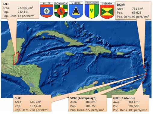
The particular countries in the Caribbean region that were supported were Belize, Dominica, St. Lucia, St. Vincent and the Grenadines, and Grenada.
Main Activities
The following activities contributed to the achievement of a methodological framework for hazard and risk assessments for the Caribbean region:
- The creation of an information basis: collection, organization, and improved management and sharing of existing geospatial data related to hazards and risks, which are required to inform disaster risk management strategies;
- The development of a methodological framework for the elaboration of hazard and risk information, which is required in the disaster risk management context at different levels;
- Performance of national pilot projects in which the application of the framework was tested, and based on which adjustments to the methodological frameworks were made;
- Institutional strengthening: a technical committee was set up to participate in the elaboration of the methodological framework. The members disseminated the experience and results in their countries/institutions. This technical committee received trainings and capacity building in the application of the methodology.
Results
The Caribbean Risk Information Program, involving Belize, Grenada, Dominica, St. Lucia and St. Vincent and the Grenadines, closed on June 30, 2016. The following results were achieved:
- The project launched the Caribbean Handbook for Risk Information Management (CHaRIM) which guides the generation and application of landslides and flood hazard and risk information to inform planning and infrastructure projects. The core of CHaRIM consists of so-called ‘use-cases’, which provide step-by-step guidance on the production and application of hazard and risk information for physical and infrastructure planning processes.
- The project developed national-level landslide susceptibility and flood hazards maps for the participating countries. A data sharing Geonode Platform has been established to share data prepared as an outcome of the CHARIM. The Caribbean Disaster Emergency Management Agency (CDEMA) is currently exploring options to integrate this platform as well as the Caribbean Handbook on Risk Information Management CHARIM into their Caribbean Risk Information System (CRIS), so as to guarantee sustainability and wide-spread dissemination of these two products.
- Relevant ministry and agency officials from Caribbean countries participated hands-on in the development of both, hazard maps and handbook and have been trained in their application. A closing workshop, marking the end of the project took place between April 20 and May 6, 2016.
- Discussion with the World Bank will be continued in order to ensure that the products, namely the handbook, hazard maps and medium term plans are useful tools that serve to inform and support the implementation lending operations.
Partnerships and Coodination
This World Bank led project was enhanced by various partners from the international academic community including University Twente, Faculty ITC (UT-ITC), the Netherlands; the University of the West Indies, Faculty of Engineering (UWI) Trinidad and Tobago; Asian Institute of Technology (AIT), Thailand Flood Risk Solutions, United Kingdom and EnviroSense, The Netherlands.
Useful Links
Region
- Caribbean
Priority area
- Early warning systems and communication on DRR
Window of Action
- Window 1
Amount approved
- $1,338,956
Co-financing
- $0
Duration
- 11/2012 - 06/2016