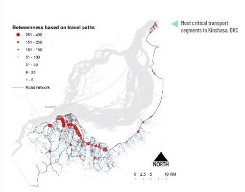
Description: City level case study assessing the change in functionality of the transport services, the loss of accessibility to jobs and services, identifying the most critical links in the transport network and attaching an economic cost to the travel delays caused by hazards (conditional on income data). Several options exist that vary by their complexity and depend on data availability:
1. Using OSM transport networks with hazard maps with assumptions on travel speeds in “normal” and “disrupted”
conditions
2. Using OSM transport networks with before/after risk reduction interventions hazard maps with assumptions on
travel speeds in “normal” and “disrupted” conditions
3. Using public transport (including informal) information in GTFS formats with hazard maps
Download the full document here.